WELCOME
Modern, powerful Cloud GIS for your organisation
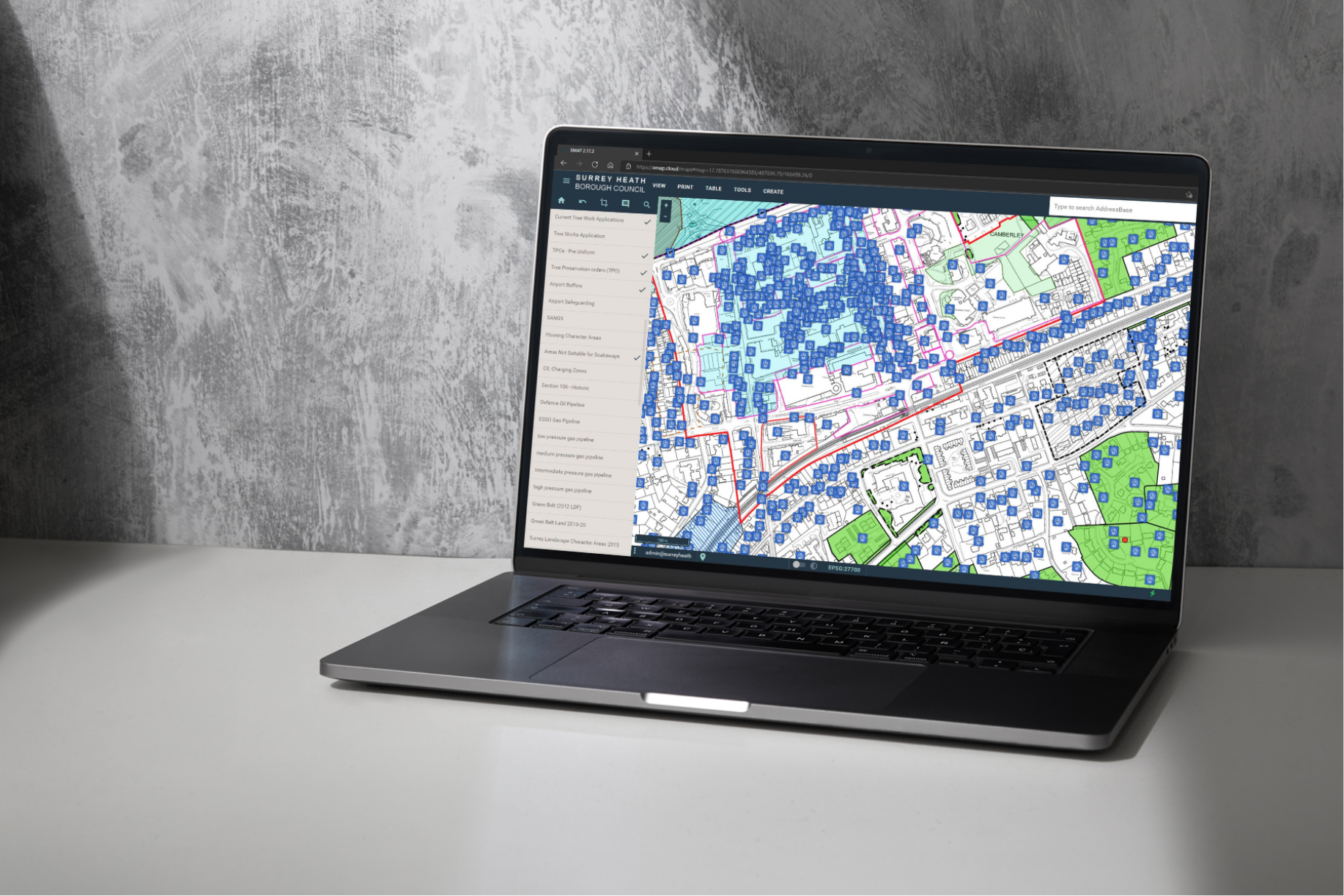
XMAP Cloud GIS is the leading cost-effective web mapping platform for government, enterprise and small business
Cloud-first specialists
Built for the cloud and perfectly aligns to remote working strategies and digital transformation.


Continuously updated
Our services evolve with regular, seamless security and functionality upgrades.
These happen with zero downtime and are backed up with a comprehensive Knowledge Base so your users ready to use the new features straight away.
Cross-organisation sharing
We are the leading company to provide effortless geospatial data sharing between separate organisations through our unique XMAP sharing tools.
Your data can also be securely integrated with other systems through APIs, Public Maps, WMTS/WFS feeds and custom scripting.

“XMAP has vastly reduced our internal GIS infrastructure and maintenance time. We can use regularly-updated Ordnance Survey mapping direct from XMAP, and share it out across planning and building control teams.”
— North East Derbyshire District Council


Latest News
-

NASA fire detection data now available in Parish Online and XMAP
NASA’s near real-time fire detection data is now available in Parish Online and XMAP. As wildfires continue to affect communities…
-
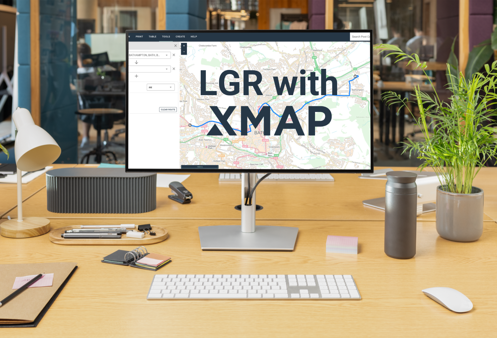
One council, one map: why XMAP fits for LGR
On the 16th July, the government announced local government reorganisation decisions for a further 14 areas. We’re offering to help,…