

Rugby Borough Council use XMAP for remote working and fieldwork
Overview
Rugby Borough Council have adopted the full XMAP suite of GIS services to help them with communication of critical mapping data across the organisation.
The council first started using XMAP Data Feeds to stream Ordnance Survey mapping into their QGIS desktop applications to help with validation of LLPG address points. This work then developed into using the whole XMAP suite to share data across the council and to town and parish councils within their jurisdiction.
Before subscribing to XMAP, the team at Rugby Borough Council carried out a test of the system by taking a free long-term trial account, took advantage of free online training through video conference and all of the setup was carried out over the web. This is a great example of it being easy and quick to implement cloud-based technology with very little fuss and no infrastructure or IT issues.
"Access to XMAP Data Feeds for Ordnance Survey data has saved us about a week of effort per year. It's great having the peace of mind that it's all taken care of. It's one less thing to worry about, allowing us to focus on what matters."
Mark Percival, Senior GIS Officer, Rugby Borough Council
Now it's deployed they're also using XMAP's built-in mobile fieldwork capabilities to view and capture data whilst out and about. This allows them to connect to XMAP on an Internet-enabled device and get access to live data and make changes without having to download and merge data when back at their desk. This is hugely convenient and shows how a cloud database and automatically-adapting GIS User Interface can improve internal processes, in turn improving public services.
"We're so impressed with XMAP. It's extremely cost-effective and is allowing us to vastly improve our GIS capabilities and make better use of our data. It's a huge advantage to be able to easily give GIS capabilities to anyone in the organisation."
Mark Percival, Senior GIS Officer, Rugby Borough Council
Key Points
- Easy to use mapping shared to the whole organisation without limits
- Hybrid setup of data stored in local geoserver and open-source cloud database
- Ultra-fast WMS of PSGA data, updated automatically in-line with Ordnance Survey updates
- Low-maintenance, leaving GIS and IT staff to get on with their work
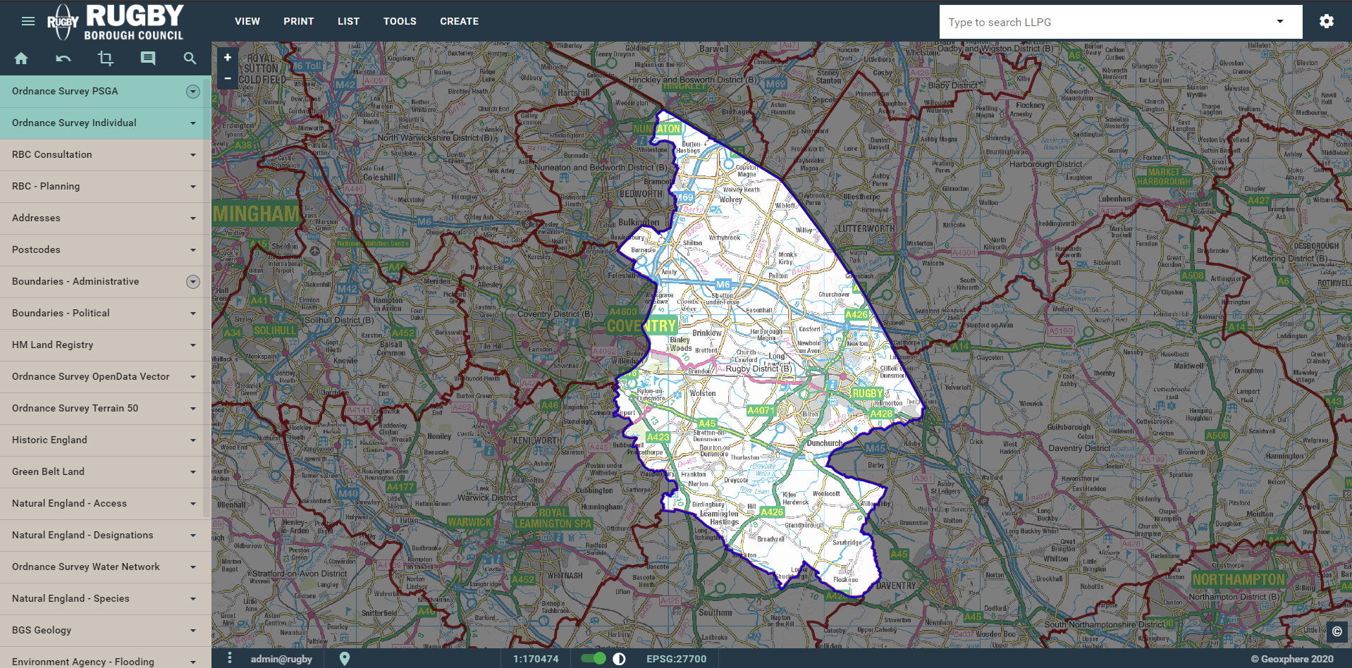
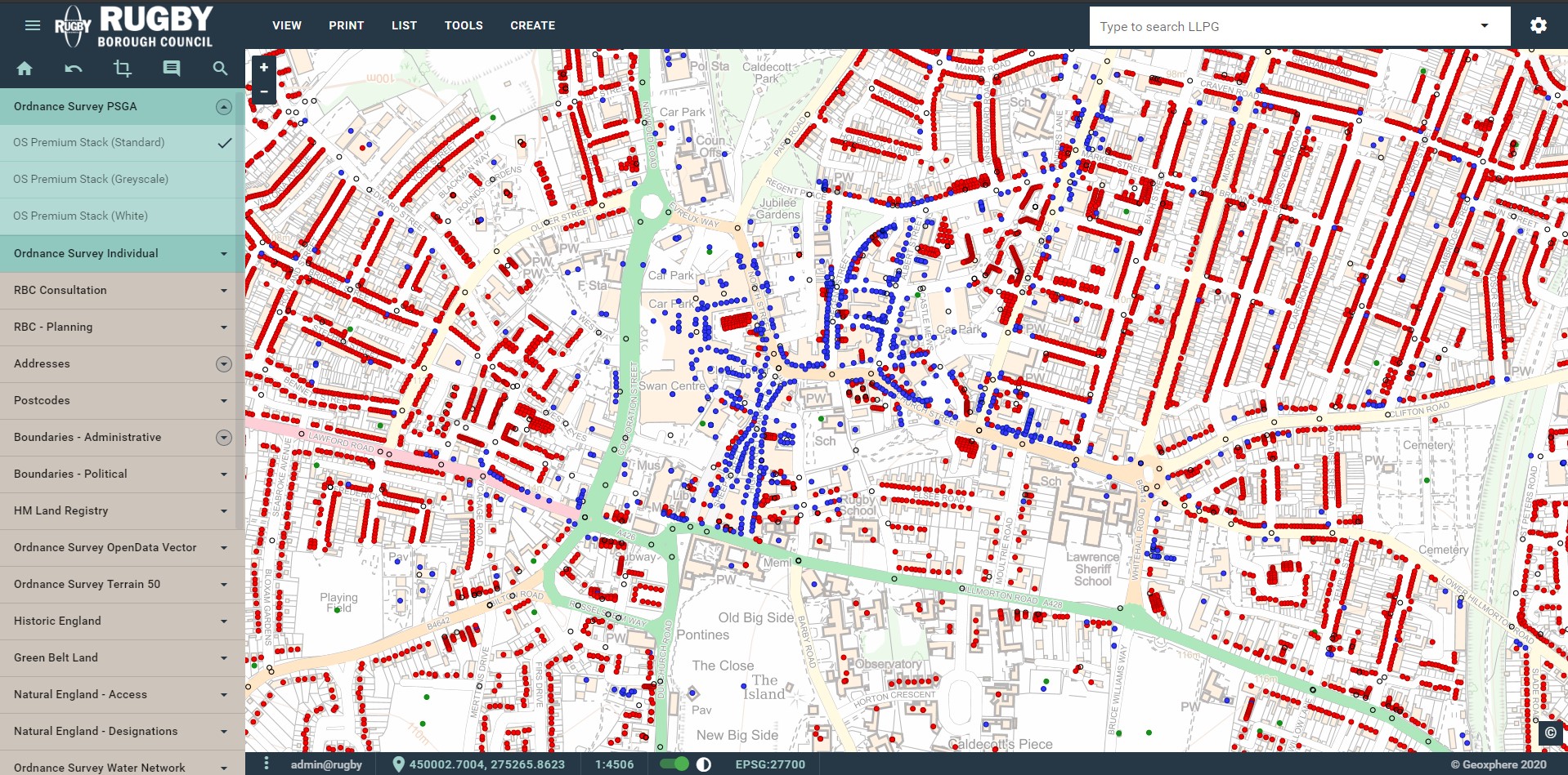
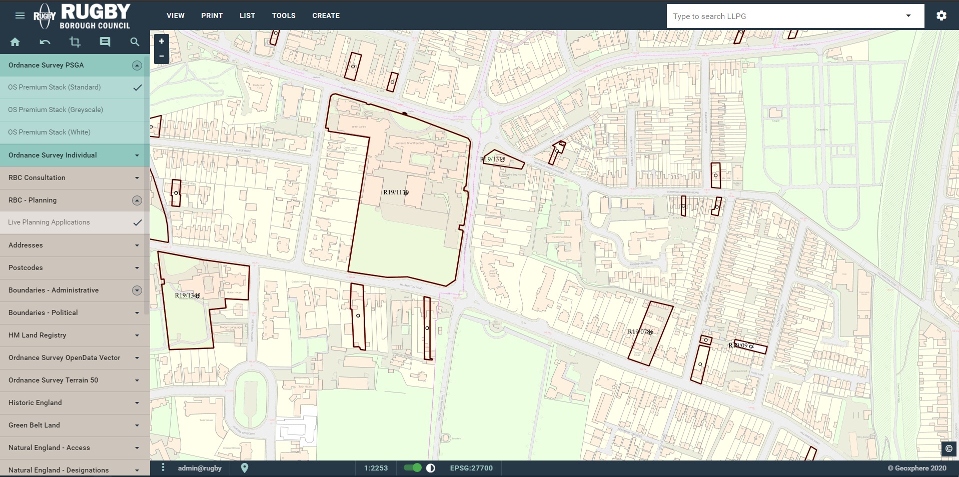
Screenshots
Back to Category