
XMAP, the local government geographic information system (GIS) service from Geoxphere, now offers a smart, green transport module to help local councils promote Active Travel and secure funding from the Government’s £2 billion package to encourage walking and cycling.
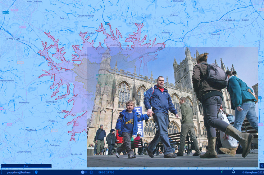
The XMAP Isochrone tool provides a detailed and visual insight into existing transport infrastructure, assessing accessibility and the local environment to calculate and compare travel times by foot, cycle and car.
“Active Travel has so many positives for individuals and communities not to mention the environmental impact of a reduced reliance on cars. We are already seeing positive changes with an increase in purposeful, rather than recreational, green journeys and the rise of e-scooter schemes, but there is always more that can be done.
Using the XMAP Isochrone tool, planners can understand how the existing infrastructure is enabling or restricting green journeys, XMAP can also help model and visualise how improvements to the transport network can be made and engage with communities to promote specific schemes and opportunities for active travel.”
The XMAP Isochrone tool allows a user to create polygons on a map showing how far it is possible to drive, walk or cycle in a set amount of time. Using algorithms that take into consideration the actual road, foot path or cycle network, as well as historic speed data and average walking and cycling rates, this is a more accurate methodology of calculating travel times compared to traditional concentric circles based on straight line distances.

XMAP is the only truly cloud-based web GIS specifically designed for Local Authorities. Accessible from any, web-enabled device, without plug-ins, bolt-ons or additional installations, XMAP includes a suite of inbuilt workflows to support delivery of Council services such as planning, housing, waste and recycling, and street services.
XMAP comes complete with more than 250 geospatial data layers, from a variety of government agencies, as well as a fully maintained Ordnance Survey map stack. XMAP supports joined-up governance by making it easy for local authorities to share this data between same tier organisations for shared service applications and between tiers for the delivery of powers and duties at the community level.
XMAP already has over 4,000 daily benefiting from unlimited usage, encrypted and secure data storage and integration with other services including document management software, planning portals and open-source GIS for specialist applications.