
Republic of Ireland Aerial Photography
Overview
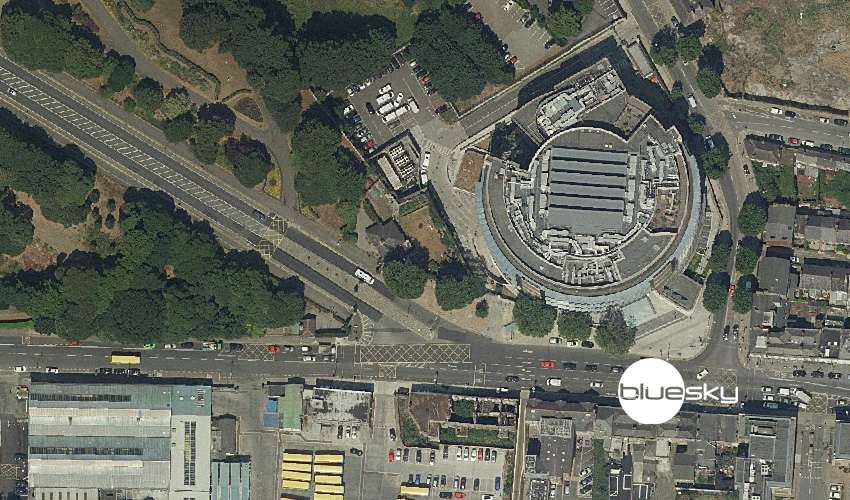
Bluesky have a rolling programme of aerial photography capture in the Republic of Ireland that's unrivalled, so this is the best place to get access to a complete aerial photography dataset. Further to that, this exclusive WMS of the data means that subscribers get the most up-to-date imagery available.
The Web Map Service (WMS) means that once you've added the connection details to your GIS or XMAP Cloud GIS account, you'll always have the latest imagery at your fingertips.
Source
Bluesky International Ltd
Resolution & Coverage
Full Republic of Ireland coverage at 25cm GSD (ground sampled distance)
Access
For access to this XMAP Data Feeds subscription, please contact Bluesky directly.
Back to Category