

Ordnance Survey PSGA & OpenData Zoomstack
Overview
Full Great Britain coverage of Ordnance Survey Premium and OpenData datasets, presented as a zoom stack and individual feeds.
Zoom Stacks
Premium
- OS MasterMap Topography Layer
- OS VectorMap Local
- OS VectorMap District
- OS 1:250,000 Scale Colour Raster
- OS MiniScale
- OS GB Overview Plus
- OS GB Overview
OpenData
- OS OpenMap Local
- OS VectorMap District
- OS 1:250,000 Scale Colour Raster
- OS MiniScale
- OS GB Overview Plus
- OS GB Overview
Other Layers
- OS 1:25,000 Scale Colour Raster
- OS 1:50,000 Scale Colour Raster
Coverage
Full Great Britain coverage
Updates
All layers updated in line with OS revisions, including OS MasterMap every 6 weeks.
Styling
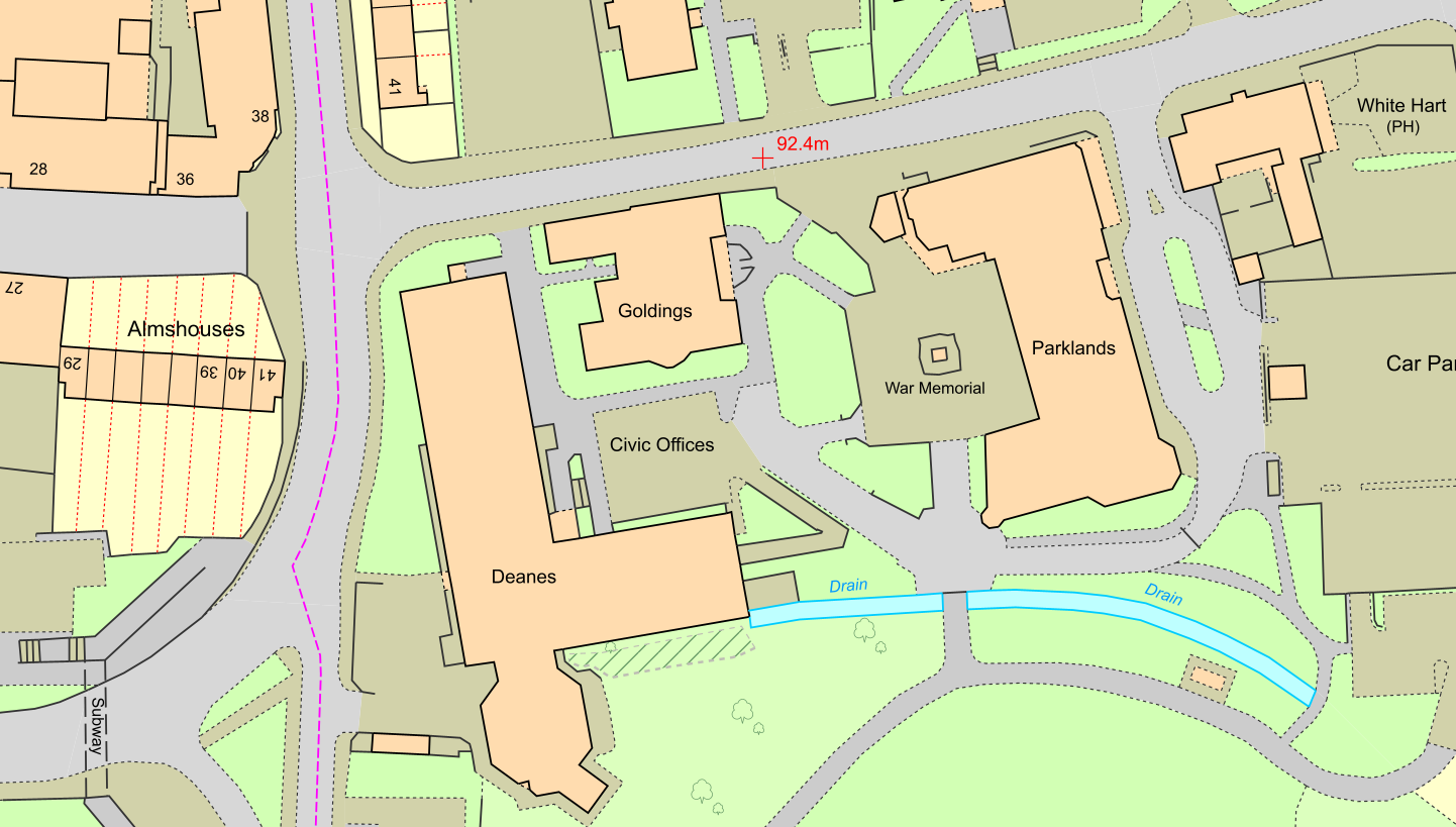
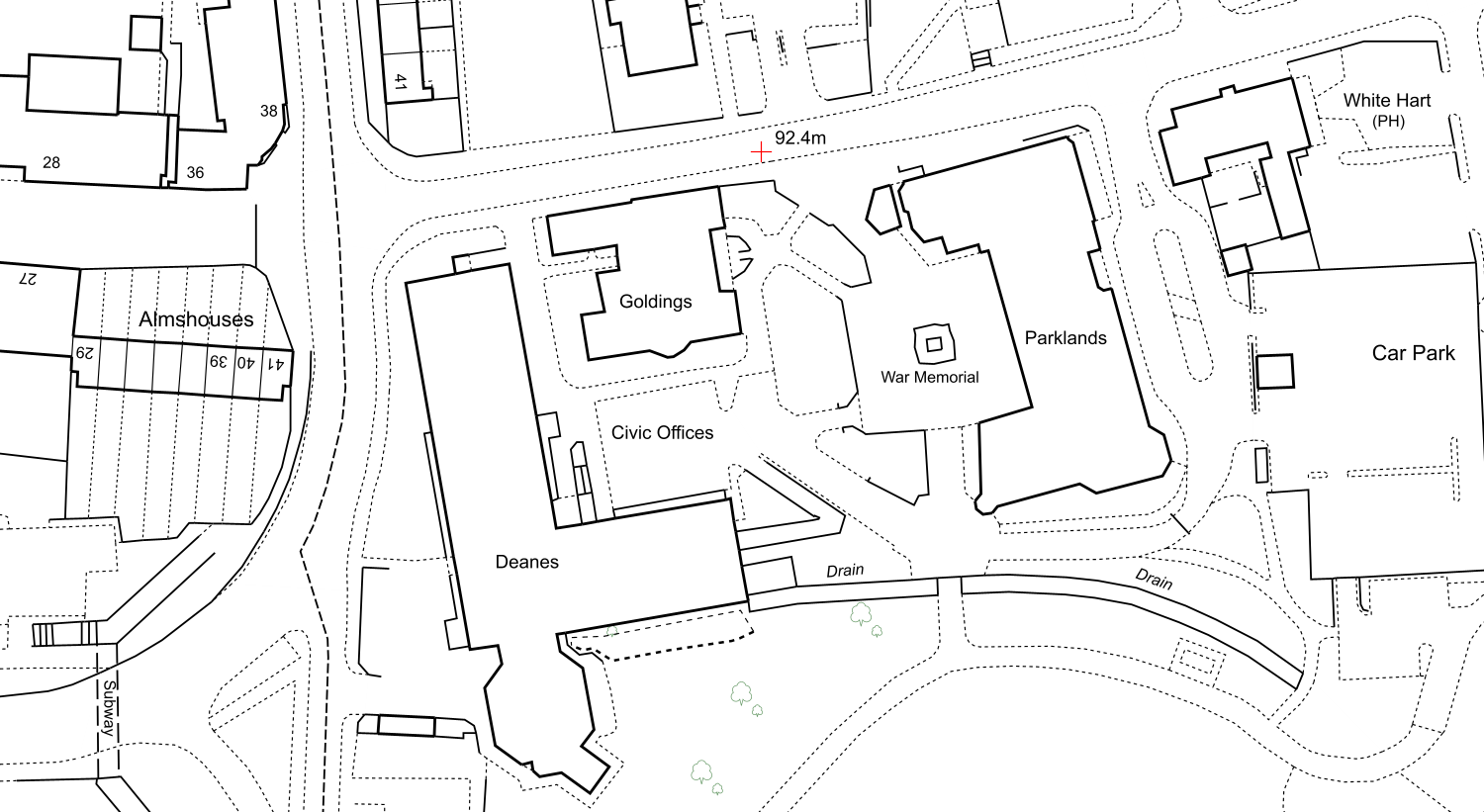
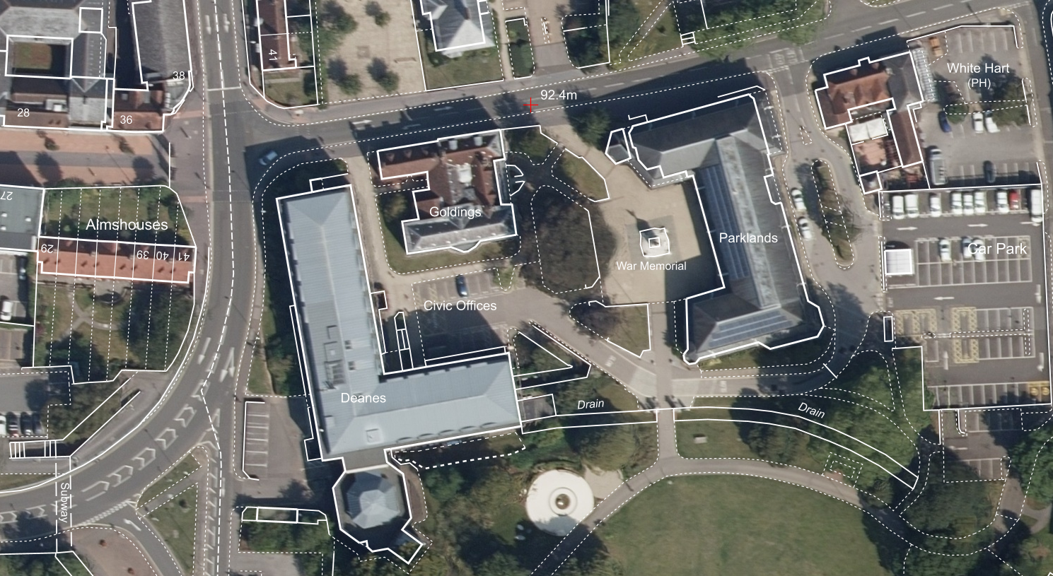
Both premium and opendata zoom stacks have three styles:
Standard
Uses the standard styling provided by Ordnance Survey
Black and White
Most features are outlines in black with a white background. Some features like water are outlines in blue.
White
This style, unique to XMAP, shows the boundaries of features in white with a transparent fill. This is great for viewing with aerial photography. Note aerial photography is not included.
Back to Category