

Hampshire Community Broadband use XMAP to help plan their network expansion
Overview
Hampshire Community Broadband's aim is to bring fast fibre broadband to rural areas of Hampshire. To do this they need accurate mapping information to help plot their network expansion and communicate with other relevant bodies.
Key Uses
- Address Search. Searching official address records using OS AddressBase national database to find UPRNs (Unique Property Reference Numbers). These are the unique property IDs that OFCOM need to identify individual connections.
- Data Consistency. By using a cloud-based system, the Hampshire Community Broadband team can all connect into a live view of the network, make changes as required and have that immediately available to their colleagues. This removes any issues with transferring local file copies between the team.
- Improving Funding Potential. By using accurate and up-to-date information such as postcodes, the team's bids for funding have a higher chance of success for schemes such as Government Gigabit.
- Viewing property extents. By referencing Land Registry Cadastral Parcels, it's possible to see where land ownership may lie, and this allows efficient routing of physical infrastructure with the least disruption.
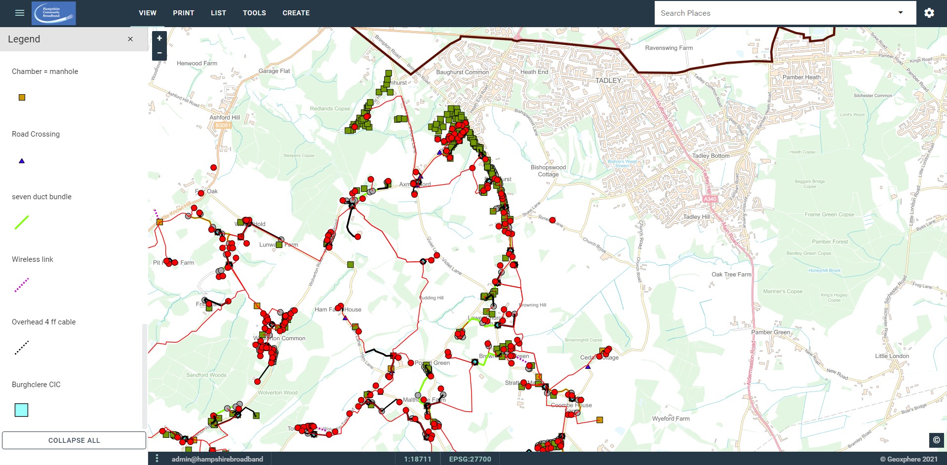
Screenshots
Back to Category