
Global Base Maps
Overview
Our global base maps include a composite of global satellite imagery and Open Street Map-derived topographic mapping.
Restrictions
Please note these are only available to view within XMAP.
Customisation
Custom versions of datasets can be created on request.
Individual Layers
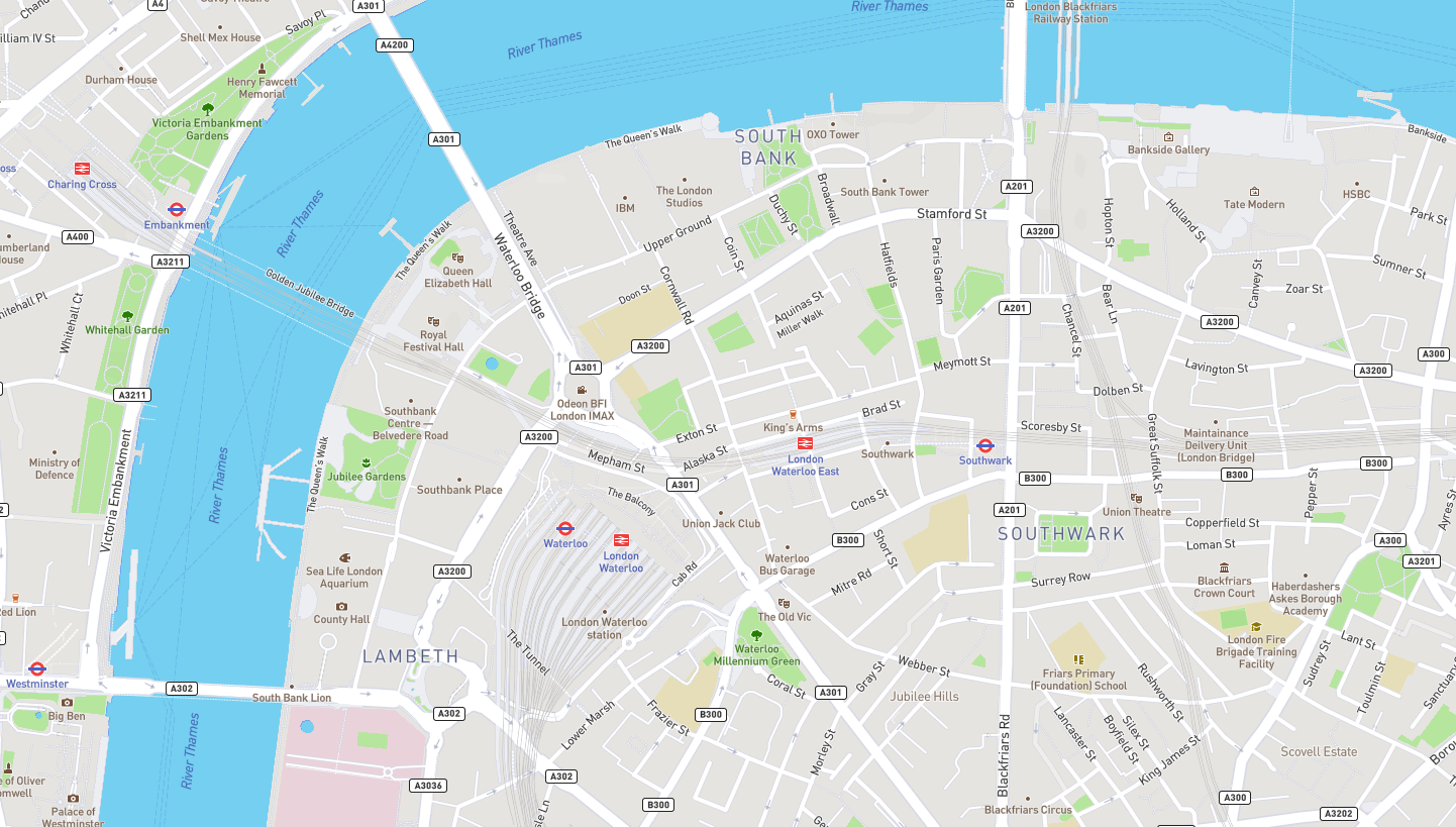
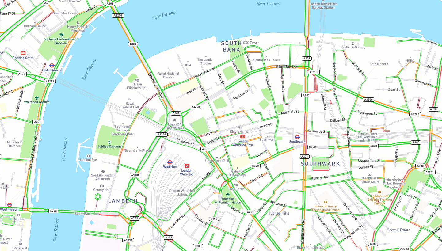
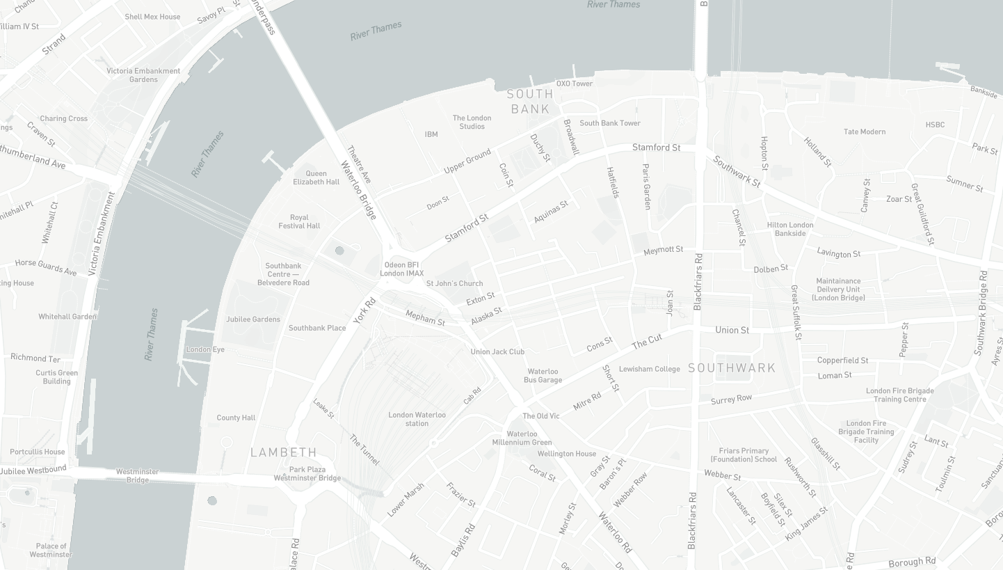
Topographic Mapping
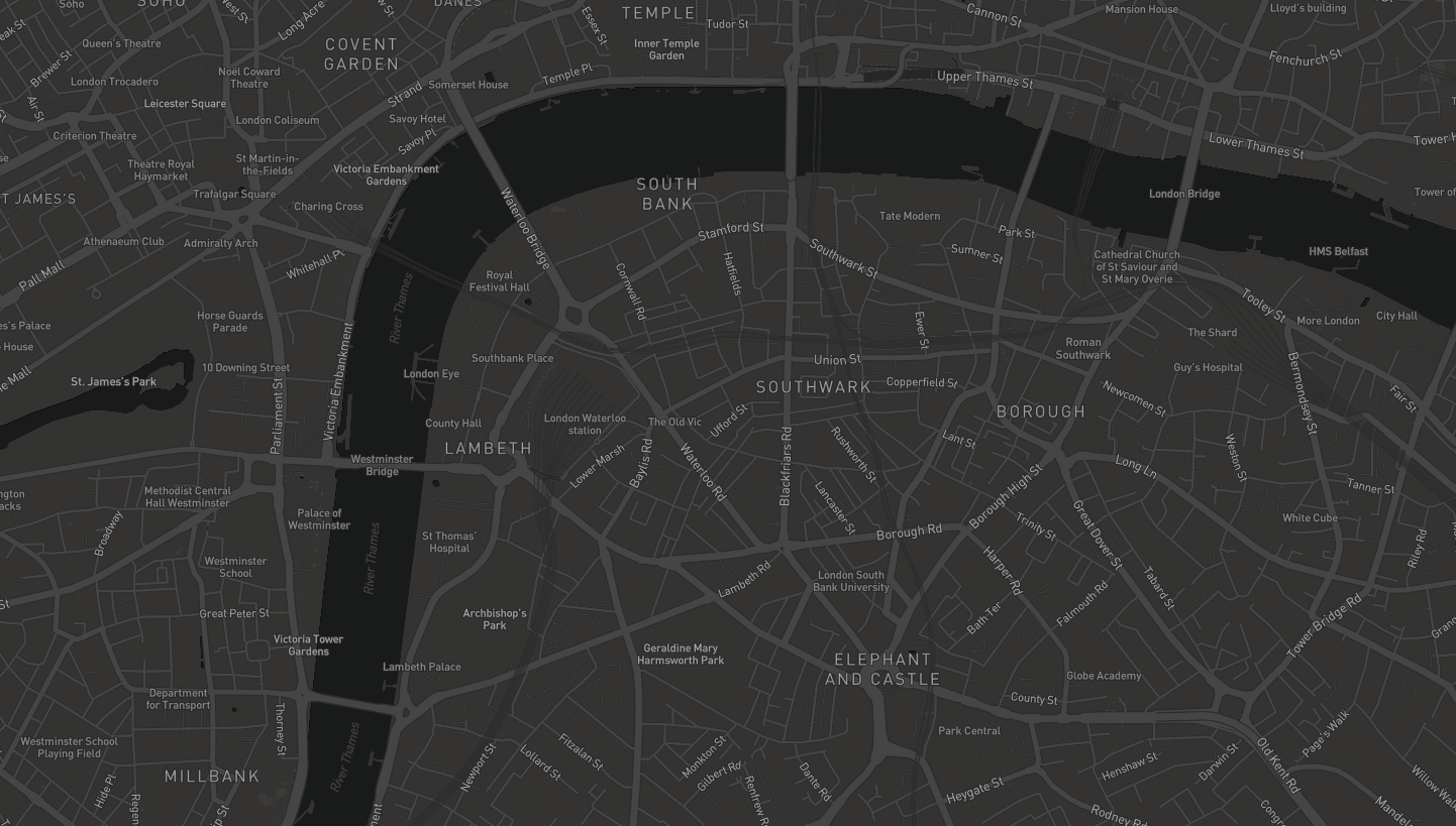
- Global Map (Standard)
- Global Map (Traffic)
- Global Map (Greyscale)
- Global Map (Dark)
- Global Terrain
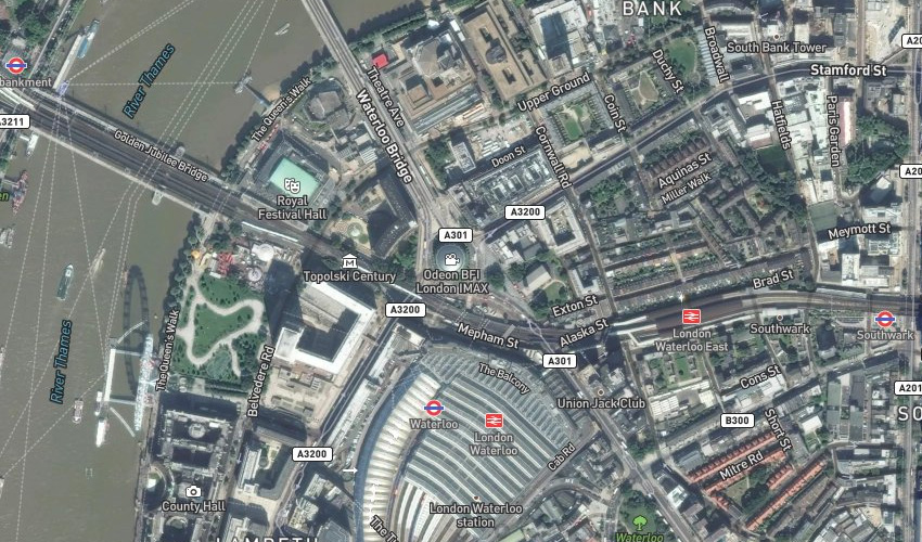
Satellite
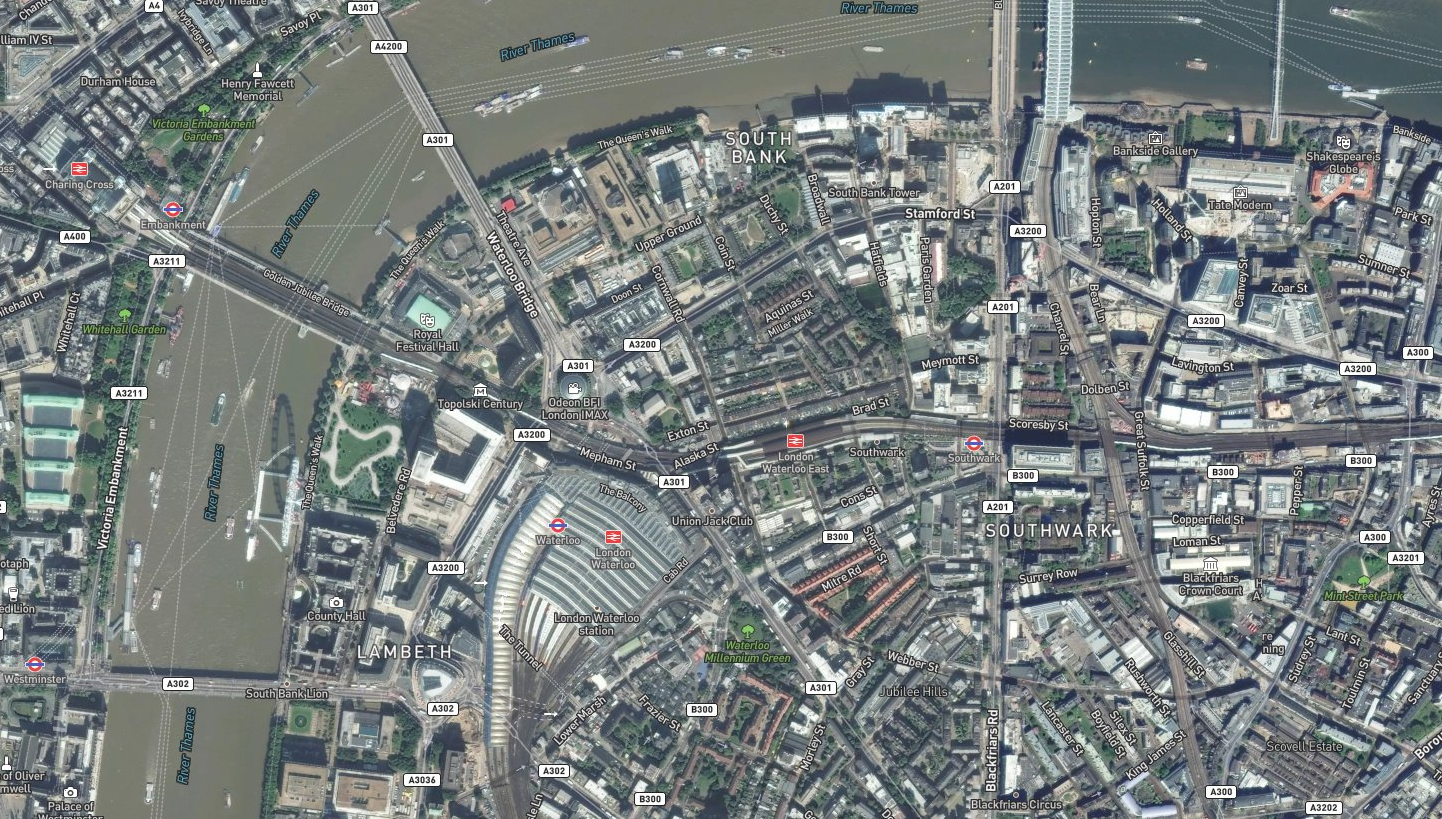
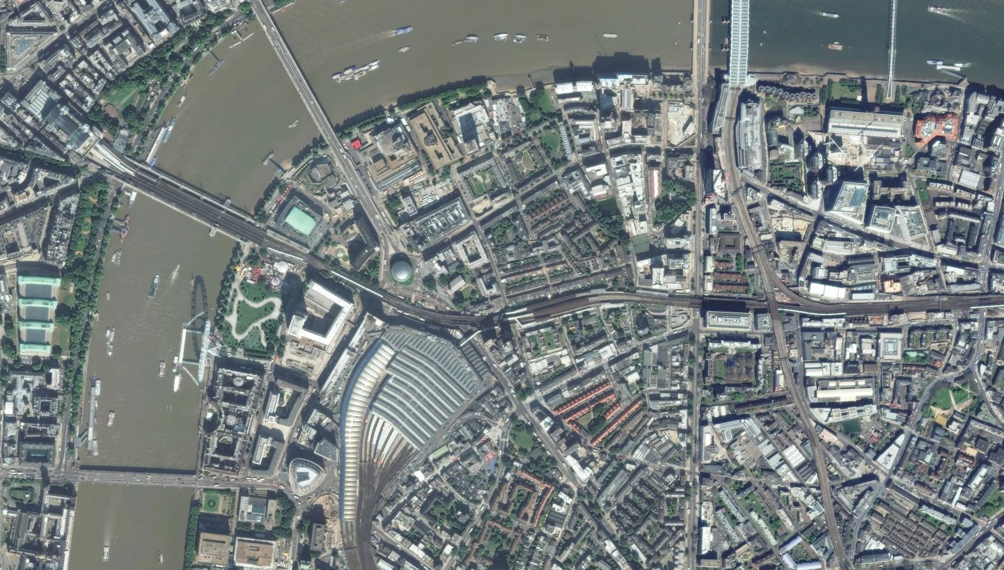
- Global Satellite
- Global Satellite (Roads)
Coverage
Full global coverage
Updates
No defined update schedule available. Topographic mapping utilises updates from Open Street Map. Satellite data takes updates from a variety of space-based and aerial datasets.
Screenshots
Back to Category