

South Somerset District Council switch to XMAP to engage with communities
Synopsis
In line with South Somerset District Council’s digital strategy, the switch to Geoxphere’s XMAP suite of geospatial services has enabled even stronger links with Town and Parish Councils. This has been achieved through proactive data sharing and collaborative working to communicate best practice for data and software use.
Having an informed and capable team of Local Councils to engage with, helps South Somerset work collaboratively to deliver projects and services quicker and more efficiently.
The Challenge
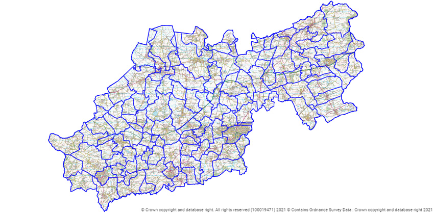
South Somerset District Council has 121 Town and Parish Councils within their geographic area, all with opportunities and challenges to create better places to live and work. Having accurate and streamlined map information is a key enabler for developing future plans; Conservation Areas, Planning Applications and Tree Preservation orders to name a few.
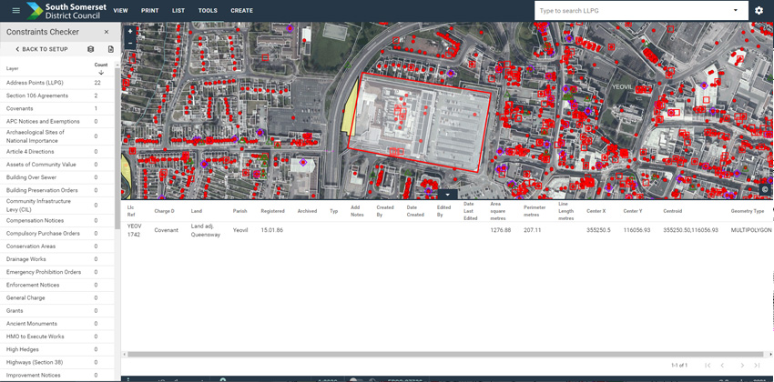
SSDC had a challenge with existing GIS infrastructure not being configured to give a ‘single source of truth’ for these datasets, resulting in a lack of confidence in the data. There was also a technological barrier as Local Council users were not accustomed to using GIS formats. In turn this led to an understandable resistance in wanting to share information outside of the District Council. The situation was not the worse it could have been; it just wasn’t the best it could be.
Key staff therefore reached out to Geoxphere to investigate a solution to re-organise internal GIS capabilities and then be able to confidently share information to external stakeholders.
The Solution
The first step was to restructure SSDC’s entire GIS architecture. This sounds like quite a dramatic step, but in-line with SSDCs digital strategy the right technology and internal capabilities needed to be put in place before the problem could be solved.
XMAP is a suite of cloud-based GIS services which are pre-configured and available immediately for the data migration to begin. No time or money is wasted on using or configuring local IT resources, Geoxphere handle all of that.
The local copies of datasets are systematically uploaded to their new secure cloud database and each department’s processes are tweaked to allow them to be used and interact with the data even better than before.
Capabilities are enhanced for the GIS specialists with a switch to the powerful open-source desktop GIS, QGIS. This has direct connections to the same data held in XMAP, so data duplication or transfers are removed.
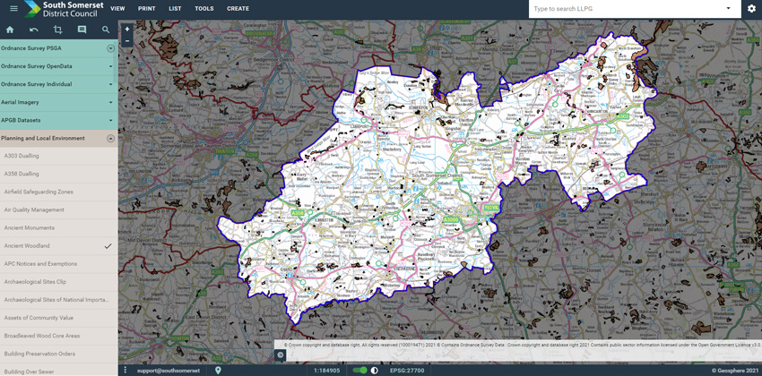
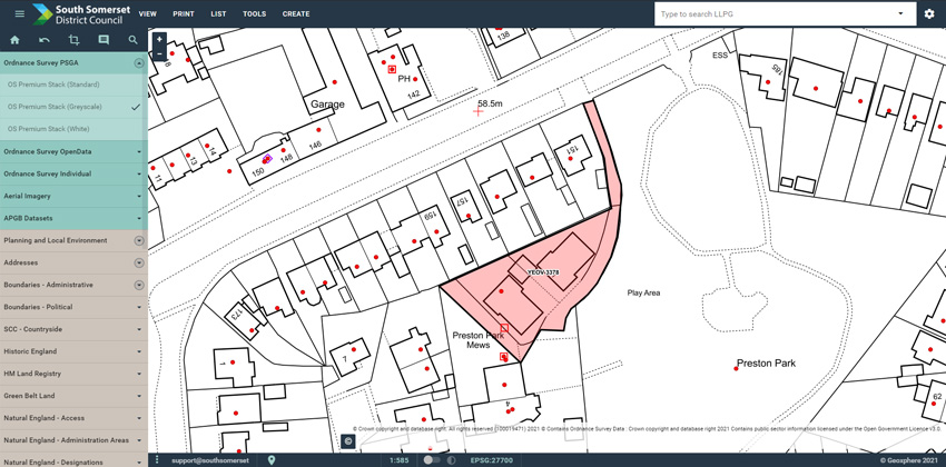
With this new GIS ecosystem and a renewed trust in the data, a series of web feeds within XMAP are established to allow Local Councils to connect them to their own mapping software. Many Local Councils use the cloud-based Parish Online service, so no configuration is needed there, the data automatically appears.
Outcomes
SSDC staff are now able to rely on fast, reliable and secure access to GIS tools and data through XMAP. The unlimited corporate licence has also opened up GIS use into departments where it was not typically used.
The Local Councils are now able to self-serve by accessing the wealth of mapping information provided to them from the District Council, thus increasing their productivity and improving their decision-making.
Key Wins
- Live data sharing across organisations through XMAP
- Live data sharing out to Local Councils through Parish Online
- Reliance on latest Ordnance Survey mapping feeds managed by Geoxphere
- Dedicated GIS tools that are properly supported by Geoxphere
- Collaborative working across the District
- Use of QGIS for complex GIS data manipulation instead of paying for ESRI licences
Header Image Attribution
Jim Champion / Stoke-sub-Hamdon war memorial, Hamdon Hill /
Back to Category