
North East Derbyshire & Bolsover use XMAP within their shared IT services
Overview
Both North East Derbyshire District Council and Bolsover District Council have operated a Joint ICT partnership for many years. This means their IT responsibilities are shared across the councils. This includes GIS. So utilising a cloud-based GIS system was a no-brainer as it meant all staff across the two councils could easily access mapping data without having to worry about VPNs or corporate domains.
With Ashley in charge of the configuration of XMAP, and this only being an infrequent task, he can be left to tackle larger more important projects than software maintenance. Using all the benefits of the XMAP suite, including consistent and fast Ordnance Survey mapping feeds, his users have all the data they need, including editing and printing functions.
Key Wins
- Reduction in desktop GIS usage
- Migration of key mapping datasets to a cloud database
- Seamless access across multiple authorities
- Easy personalisation of XMAP for specific user groups across multiple authorities
Key Projects
- Transition of users away from MapInfo onto more modern cloud-based software
- Integration of XMAP services into Firmstep system for public reporting.
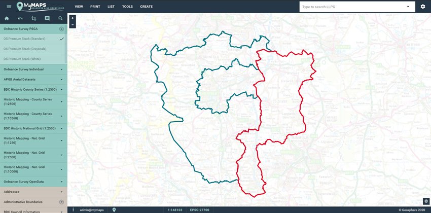
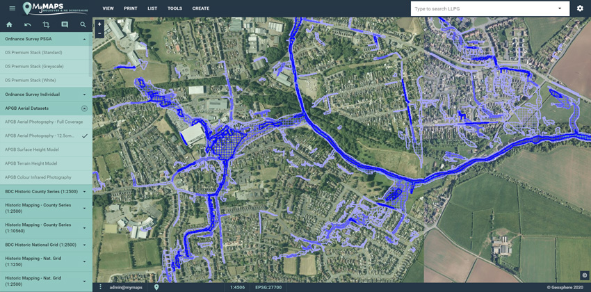
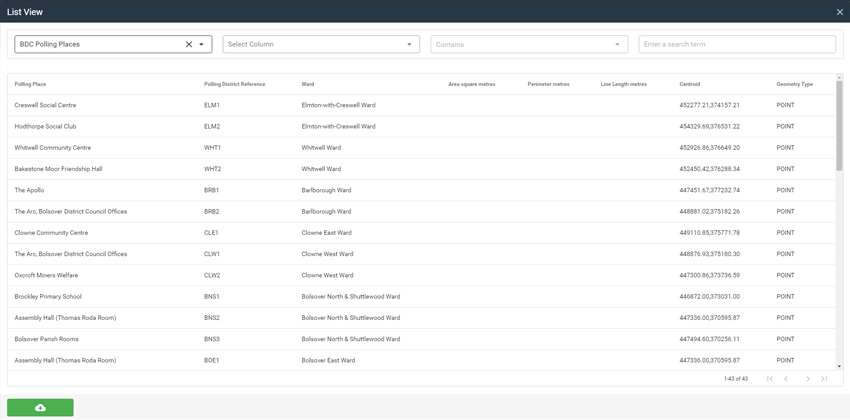
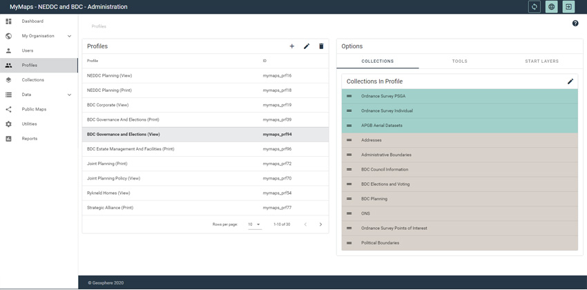
Screenshots
Back to Category
Client