
Bath & North East Somerset Council use XMAP as their corporate GIS
Overview
Bath & North East Somerset (B&NES) have been using XMAP for over 10 years as a business-critical system particularly for their planning, land charges, transport and social care teams. Martin, Alison and David have been instrumental in making XMAP what it is today by providing feedback, feature suggestions and use-cases.
B&NES were the first Local Authority to subscribe to Parish Online as a group in order to give XMAP-like functionality to all their town and parish councils. This set the scene for the integration and data sharing that became a core part of the XMAP ecosystem.
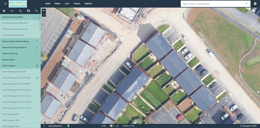
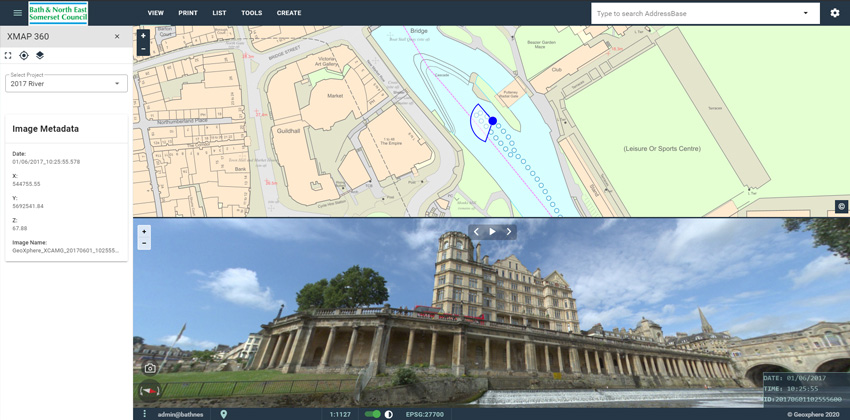
The XMAP account for B&NES has evolved over the years including the addition of 360 imagery, oblique imagery and bespoke aerial surveys, all captured by Geoxphere, to ensure staff using the software have the most up-to-date information at their disposal.
Key Wins
- Strong return on investment that saves the council the cost of the subscription many times over through reduced site visits, time savings and quicker decision making.
- GIS team have become the enabler rather than the 'doer'. All departments can self-serve for their mapping needs.
- Maintenance and IT costs vastly reduced, leaving GIS team more free to do specialist activities.
- XMAP has become the single source of truth for all geographic datasets, leading to increased confidence in the data
- Data sharing with town and parish councils has lead to improved engagement and better communication of schemes, asset records and planning.
Key Projects
- Annual mapping event hosted by B&NES and the local university, Bath Spa University, to engage with local councils.
- Integration of XMAP Data Feeds into Uniform and other back-office systems to ensure OS mapping was used consistently across the council.
- Capture of 360 imagery in key waterways to support planning and development of riverside taking into account existing habitats.
- Capture of 360 imagery for all roads in B&NES every 2 years to support planning, environment and conservation efforts.
- Migration away from MapInfo to QGIS, utilising XMAP's open source connections and reducing costs.
- Commissioning bespoke aerial surveys to ensure planning teams had up-to-date imagery in-between national flying programmes.
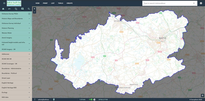
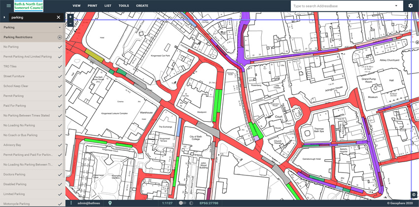
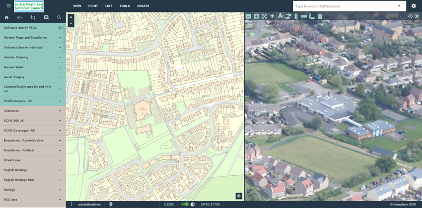
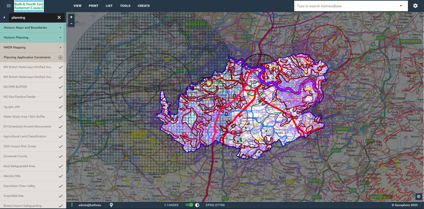
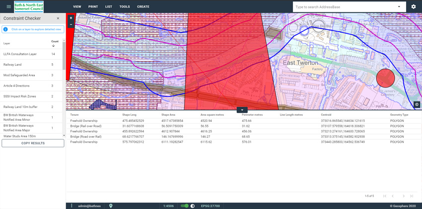
Screenshots
Back to Category