
Services
XMAP Public Map
configurable interactive maps for publishing live data in a controlled way. Add to your website, Hub, or embed into other services
“Using Public Maps has allowed us to share high density maps such as our Local Plan, without fear of it crashing or being hard to maintain.”
GIS Team at North East Derbyshire District Council
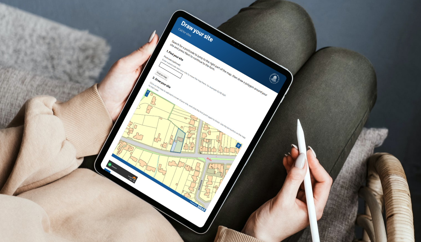
No coding required
Creating Public Maps is straightforward with a stepped workflow with multiple options.
It means multiple Public Maps can be created to represent the needs of each part of the council.
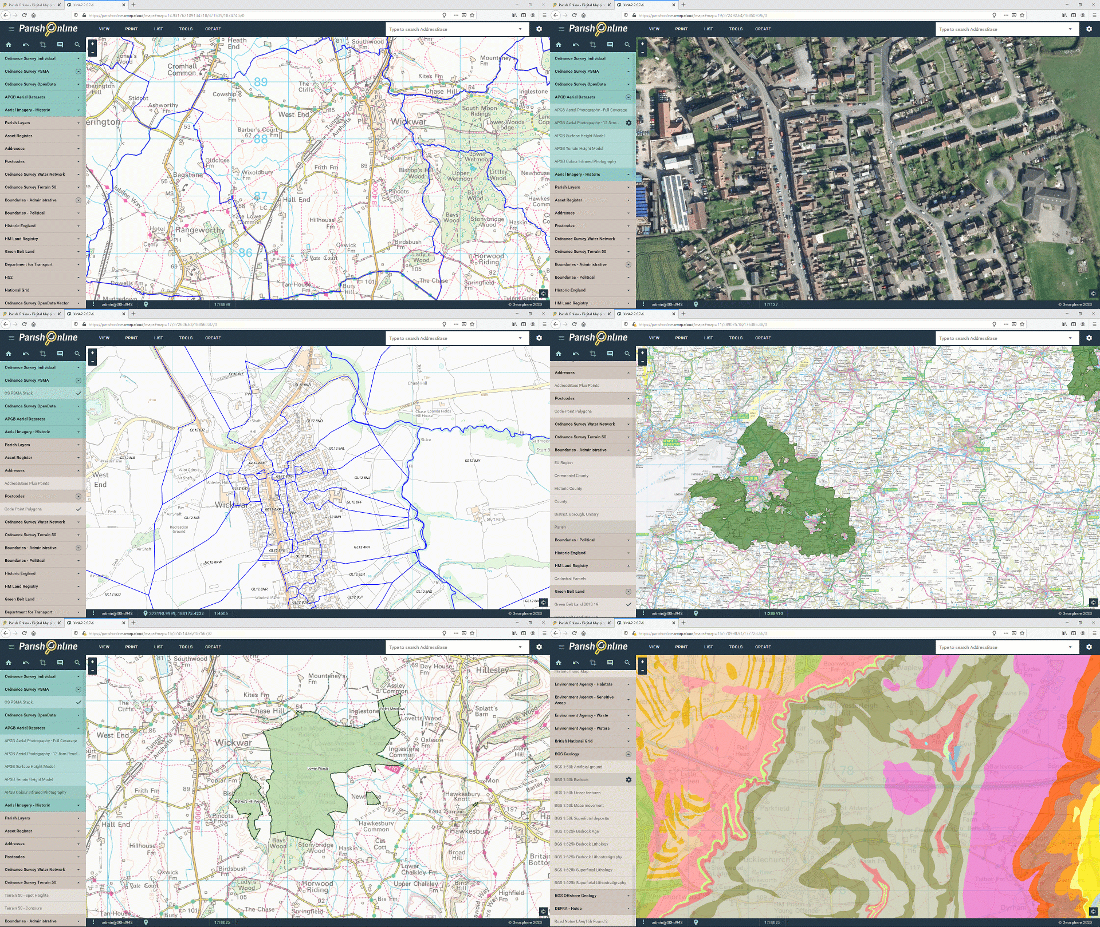
Configuration
Public Maps can be as simple or complex as you like. There are options for including search bars, layer controls, legends, and pop-up information.
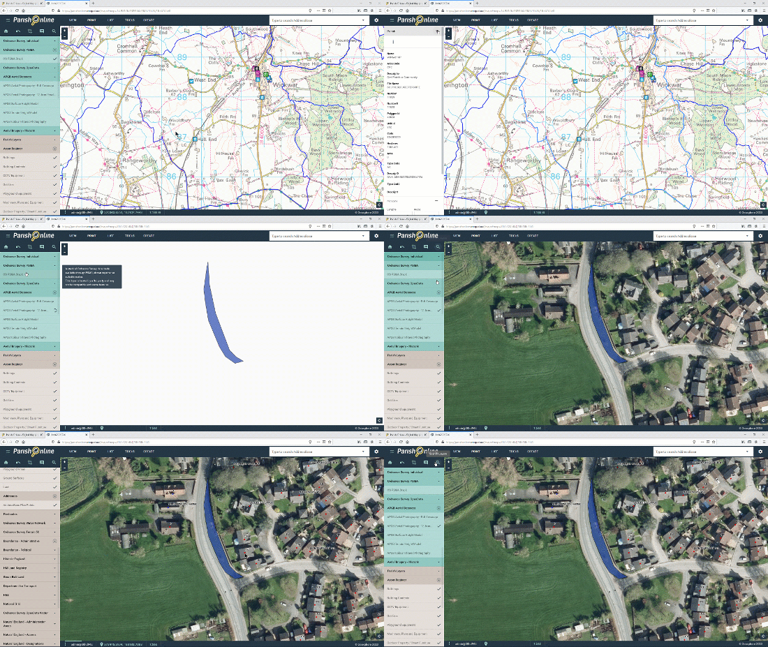
Controlled publishing
Datasets can be configured to hide certain attribution, ensuring the public only see what’s relevant.
This also avoids GDPR or usability issues.
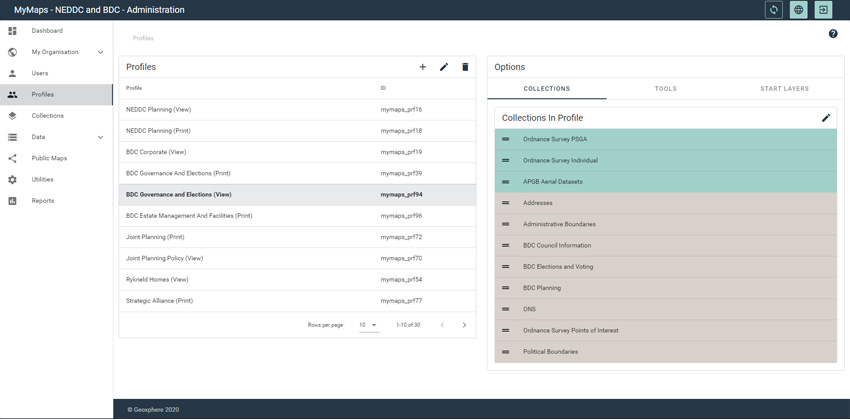
Embed or Link
Public Maps can either be embedded into a webpage or application, or shared as a unique URL and turned off when no longer needed.



Latest XMAP News
-
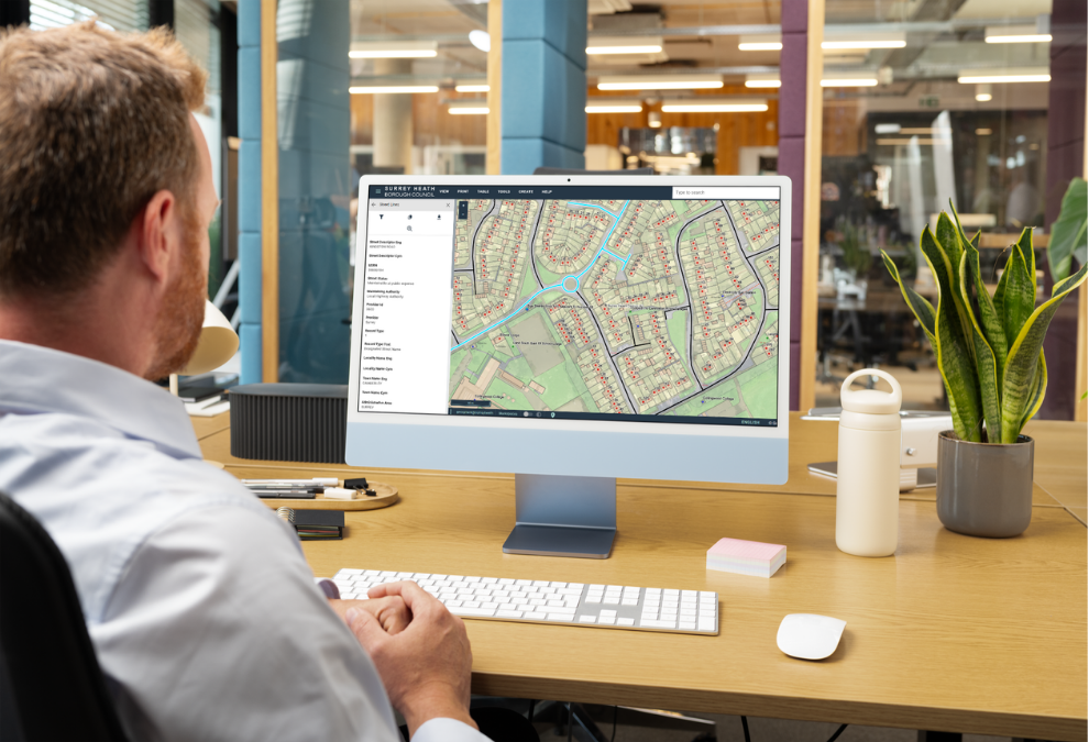
Geoplace Street Naming & Numbering Collaboration and Innovation Award 2026 for Surrey Heath Borough Council thanks to XMAP collaboration
Surrey Heath Borough Council has won the **GeoPlace Street Naming & Numbering Collaboration & Innovation Award 2026** after partnering with…