Instant access, to up-to-date, highly accurate geographic data in MetroVista Online
MetroVista Oblique
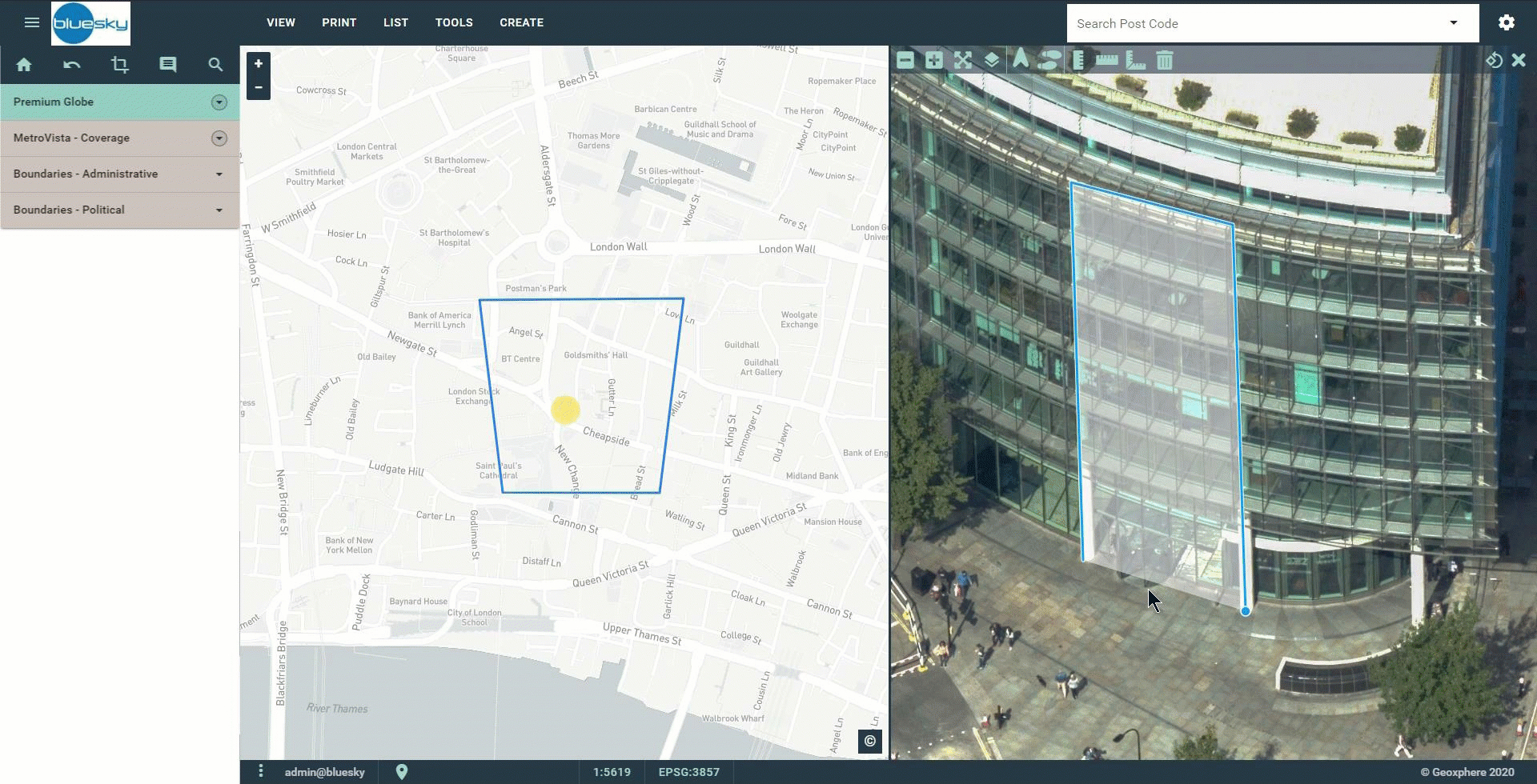
MetroVista Oblique
a web-based mapping tool including our complete oblique aerial photography archive
- View our entire oblique aerial imagery catalogue
- Print, measure, annotate
- Upload your own GIS data
- Includes Ordnance Survey MasterMap credits
- Have up to 5 named users
Use the form below to take out a FREE no obligation 30 day trial, then pay just £100 per month.


