
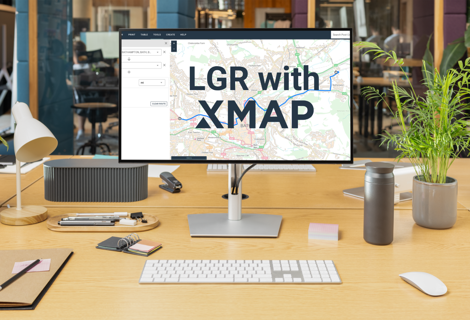
On the 16th July, the government announced local government reorganisation decisions for a further 14 areas, taking the total to 38 new unitary authorities replacing 134 existing councils. More decisions are still to come but for every council on that list, one question is now unavoidable (but probably hasn’t been asked): what happens to your GIS?
GIS is the quiet workhorse giving you valuable insight across multiple department data, but multiple systems are expensive and it’s rarely near the top of anyone’s transition plan, until it becomes the thing holding everything else up.
We’re offering to help, providing a completely free XMAP licence for shadow councils to make those cost-savings a reality. This will show you the power of XMAP, Hub and cloud databases.
The problem hiding inside every merger
Merging councils means merging data. Address gazetteers that don’t match. Asset registers built on different standards. Planning, highways and environmental health teams each working from their own system, none of them the same map. On paper it’s an IT integration problem but in practice it’s the thing that quietly slows down every service that depends on knowing where something is… which is arguably all of them!
Some of this is homogenisation: getting several councils’ data to agree with itself. Some of it runs the other way, splitting data apart where a two-tier area is dividing rather than merging. Both are harder than they look, and both are exactly the kind of specialist GIS work that many councils don’t have spare capacity for in the middle of a reorganisation.
A central repository, not another silo
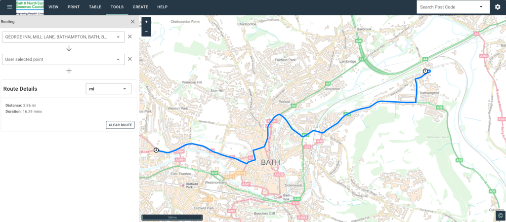
XMAP is built as an enterprise GIS system: a central repository for unified spatial data that connects out to the rest of a council’s corporate systems, rather than sitting apart from them. Location underpins a huge amount of what a council needs to understand and analyse, so a GIS system that’s genuinely part of the back office, not bolted onto the side of it, changes what’s possible with that data.
That’s also why adaptability matters here more than in an ordinary GIS refresh. A new unitary authority inherits whatever finance, planning and asset management systems each predecessor council happened to be running. XMAP is designed to fit around that landscape rather than demand it be replaced first.
The cost case
Every council going through LGR is being asked to make the case that reorganisation is worth it, and licensing is one of the clearest places to show it. Councils merging typically end up with four or five separate GIS systems, each with its own licence and renewal date, its own support contract, its own maintenance overhead.
Consolidating that into one has a straightforward, quantifiable saving before any other benefit is counted. It’s also happening against a backdrop of substantial rises in GIS licensing costs generally, which makes the case for consolidation stronger than it would have been a few years ago.
We’re on G-Cloud 15 and other frameworks showing our competitive, transparent pricing.
We’ve got case studies worth pointing to directly:
- Reigate & Banstead Borough Council on rapid migration to XMAP
- North East Derbyshire & Bolsover on shared services
- Surrey Heath Borough Council on running XMAP with an independent cloud database
GIS reform (with a lowercase ‘r’)
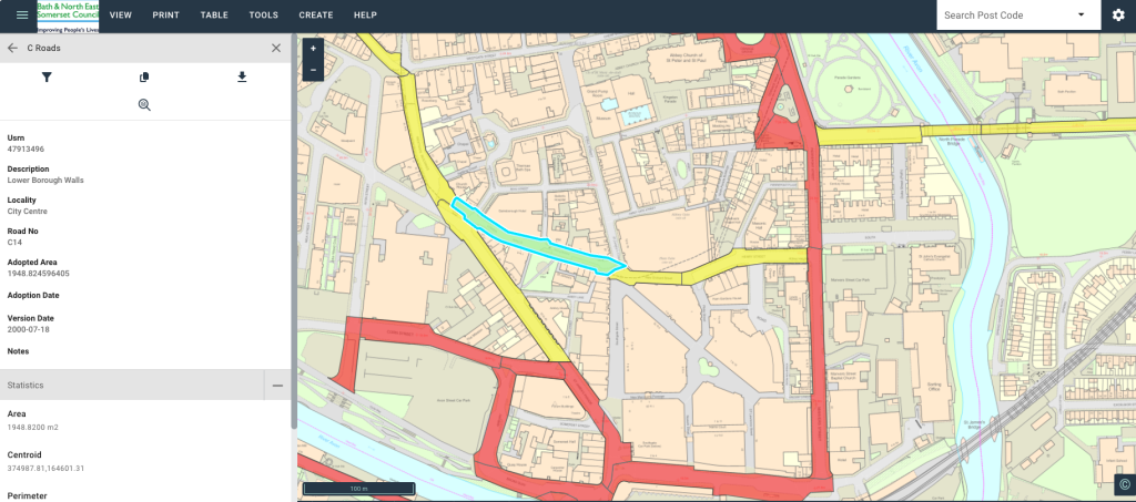
LGR asks councils to reform how they work, not just where their boundaries sit. For GIS specifically, a merger is the one moment a council gets to reset rather than inherit. They can build a unified spatial database (USD) (no, not the currency!) that uses the latest best-practice methods for storage and interconnectivity between back-office systems. That creates a strong foundation for building reliable, accurate and scalable systems that will deliver cost savings and greater insight again and again.
Role-based, organisation-wide access changes that by default: anyone who needs spatial data as part of their job gets it, rather than needing to ask. GIS then becomes pervasive across an organisation, which is where its usefulness is realised.
Getting sorting before vesting day, not after
The strongest argument for doing this early is a practical one. Sort the GIS before vesting day and you’re consolidating on your own terms. Leave it until after and you’re doing the same work while also running the new council, with all its predecessor suppliers and licences still live and still needing paying for. That’s more financial and operational pressure at exactly the point a new authority has the least capacity to absorb it.
Free, ready for vesting day
We’re a bit different and see the long-term view, which is why we’re offering something unique. For councils in the current wave, we can provide a fully-fledged XMAP system, fully funded, bringing all predecessor councils’ GIS data into one place ready for vesting day.
For shadow authorities further out, we’re offering 18 months free. You’re treated as a full paying customer in every respect except invoicing, with the same support as anyone else. Running XMAP alongside your existing systems for that period means you get to see it working properly, in parallel, before committing to switch off anything. We fund that licence entirely at our own risk, because we think it’s worth it to help get this right for the public sector. You could pay for us to do additional GIS consultancy work, but chances are you won’t need that.
See it for yourself
We’ve been running demos for councils already looking at this, then setting up XMAP accounts so teams can get in and try it directly rather than take our word for it. If your authority is somewhere in the LGR process now, that’s the easiest next step and it’d be a pleasure to talk to you about your current setup and your intended journey. Just drop our Local Government lead, Simon, an email.